

Latest News from AUAV
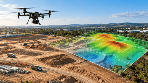
How Drone Topographic Surveys Improve Site Planning for Construction Projects
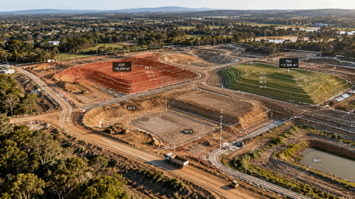
Cut and Fill Calculations for Construction: How to Improve Earthwork Accuracy with 3D Mapping
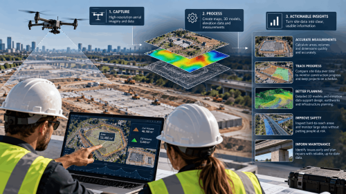
What Is Drone Surveying? A Complete Guide for US Construction & Infrastructure Projects
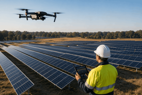
Drone Thermal Inspection for Solar Farms

When Do You Need 3D Laser Scanning? 7 Projects Where Traditional Site Measurements May Not Be Enough

FAA Part 108 Explained
Top 7 Industries Using Aerial LiDAR Survey in USA And Why Adoption Is Growing
