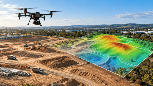
Drone topographic surveys capture elevation and terrain information to support construction planning, engineering design, and site development. Using aerial mapping technologies, project teams can create detailed terrain models and identify site conditions before earthwork begins.
Successful construction planning starts with understanding the ground. Unexpected slopes, drainage patterns, and terrain constraints can affect grading designs, excavation requirements, and project schedules.
Drone topographic surveys provide engineers and developers with spatial data that helps them evaluate these conditions before major site work begins.
What Is a Drone Topographic Survey?
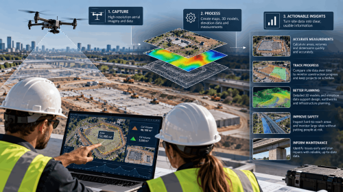
A drone topographic survey uses unmanned aerial vehicles (UAVs) and geospatial sensors to collect information about land elevations, surface features, and terrain.
Depending on site conditions, survey teams may use photogrammetry or aerial LiDAR to produce:
Digital terrain models (DTMs).
Contour maps and elevation data.
Georeferenced orthomosaic imagery.
Three-dimensional point clouds.
CAD- and GIS-compatible mapping files.
The appropriate method depends on vegetation, terrain complexity, accuracy requirements, and the intended engineering application.
Why Are Topographic Surveys Important Before Construction?
Construction site surveying provides essential information for grading, drainage, road alignment, and site layout.
Accurate existing-ground information allows engineers to compare proposed designs against actual terrain.
3 Ways Topographic Mapping Supports Site Planning
1. Identifying terrain constraints
Detailed elevation models help reveal slopes, depressions, and irregular ground that may influence site design.
2. Supporting grading and drainage design
Engineers can use topographic mapping data to assess proposed grades, drainage pathways, and potential earthwork requirements.
3. Improving early project coordination
Georeferenced mapping gives surveyors, designers, and contractors a consistent spatial reference for planning discussions.
However, aerial data alone cannot establish underground utilities, soil bearing capacity, or all legally defined property boundaries.
How Do Drones Capture Terrain Data?
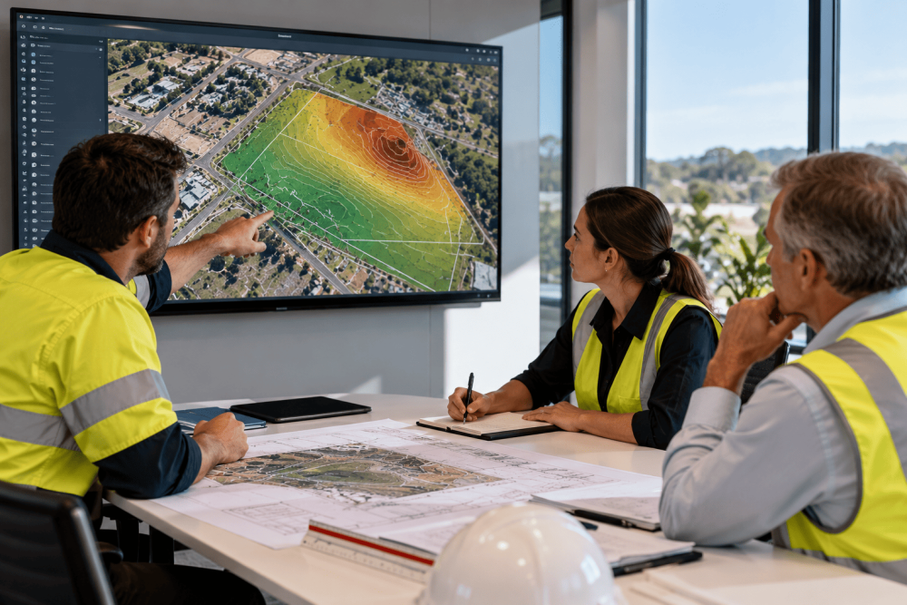
Drone survey workflows generally involve planning the survey area, establishing suitable control, collecting aerial measurements, and processing the results.
Photogrammetry for Visible Ground Surfaces
Drone photogrammetry uses overlapping photographs to reconstruct exposed terrain and surface features.
It is useful for open development sites where the ground is clearly visible.
Aerial LiDAR for Complex Terrain
Drone LiDAR surveying uses laser measurements to produce three-dimensional point clouds.
Where canopy gaps permit ground returns, LiDAR can help generate terrain models beneath vegetation.
Both methods require suitable positioning, processing, and independent accuracy checks.
How Can Drone Surveys Support Earthwork Planning?
Before excavation or grading begins, engineers need to understand how existing terrain compares with proposed design levels.
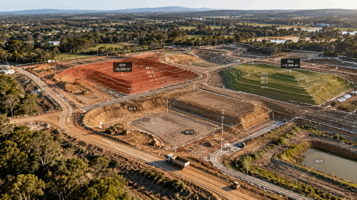
A suitable digital terrain model can support preliminary cut and fill estimates and help identify areas requiring excavation or imported material.
These calculations depend on:
Accurate existing-ground elevations.
Approved design surfaces.
Appropriate survey control.
Consistent coordinate and vertical reference systems.
Clearly defined calculation boundaries.
Survey outputs should meet project specifications before being used for engineering quantities or construction decisions.
What Should Construction Teams Request From a Drone Survey Provider?
The most useful deliverables are those that integrate directly into the project’s design and construction workflows.
Before commissioning aerial surveying and mapping, confirm:
Required horizontal and vertical accuracy.
Coordinate system and elevation datum.
Survey boundaries and terrain coverage.
Deliverable formats for CAD or GIS.
Ground control and validation requirements.
For projects requiring legal boundary determinations or regulated survey certification, the work must involve appropriately licensed surveying professionals.
Plan Your Construction Survey with AUAV
Reliable site planning depends on having terrain information suited to the project’s design requirements.
AUAV provides specialist drone surveying and geospatial solutions that can support land development, civil engineering, and construction planning.
Preparing a construction or land development project?
Contact AUAV to discuss your site conditions, topographic mapping requirements, and preferred survey deliverables.
Frequently Asked Questions
1. How accurate are drone topographic surveys for construction?
Drone topographic survey accuracy depends on sensors, ground control, positioning, terrain conditions, and processing. Construction projects should specify required tolerances and request independent checkpoints to verify that delivered data meets engineering requirements.
2. Can drone surveys be used for grading and drainage design?
Yes. Drone topographic surveys provide elevation models that engineers can use for grading and drainage analysis. Final designs also require appropriate engineering inputs, project specifications, and consideration of site conditions.
3. What is the difference between a drone topographic survey and a boundary survey?
A drone topographic survey maps terrain elevations and surface features. A boundary survey establishes legally defined property limits and generally requires a licensed surveyor, supporting records, and applicable jurisdictional procedures.
4. How long does a drone topographic survey take?
Drone topographic survey timelines depend on site size, access, vegetation, weather, accuracy requirements, and processing complexity. Survey providers should confirm collection schedules and deliverable turnaround after reviewing the project scope and conditions.
5. What information is needed to request a drone topographic survey quote?
A drone topographic survey quotation typically requires site location, area, vegetation conditions, accuracy requirements, intended use, and deliverable formats. Existing control information and access restrictions also help define the scope.