Services
Frequently Asked Questions
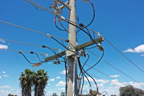
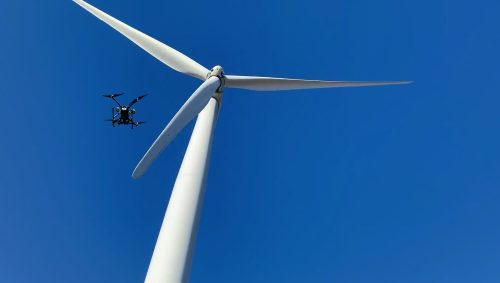
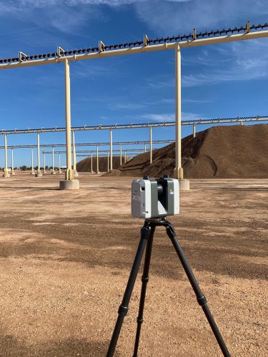
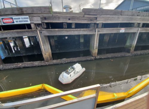
AUAV delivers drone services in the USA for commercial and industrial clients across a range of sectors. Our capabilities include aerial asset inspections, surveying and mapping, LiDAR, thermal imaging, confined space inspections, terrestrial laser scanning, aerial photography, and specialist data collection tailored to project requirements.
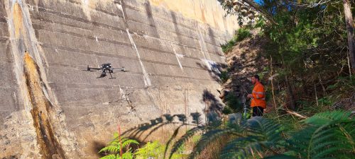
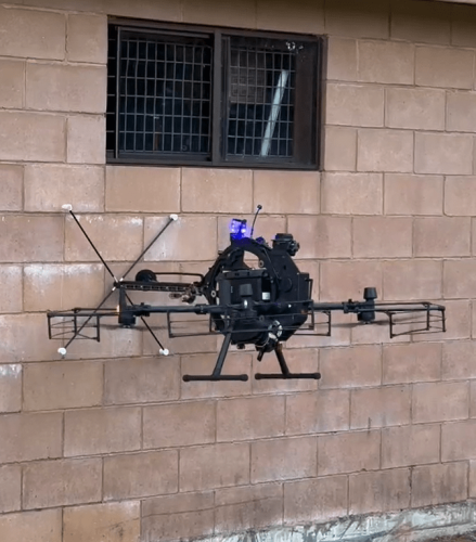
A drone inspection can reduce the need for scaffolding, rope access, or personnel working at height. It also allows critical assets to be inspected more efficiently while capturing detailed visual and sensor data that supports maintenance planning and operational decision-making.
Every project begins with a review of your objectives, site conditions, and asset type. Once the scope is confirmed, our team plans the flight, collects the required data, processes the results, and delivers clear reports or digital outputs based on your operational needs.
Industrial drone services help organizations inspect assets more safely, improve data accuracy, reduce time spent on manual inspections, and monitor infrastructure without unnecessary disruption. They also provide consistent records that support maintenance, compliance, and long-term asset management.
The timeframe depends on factors such as the size of the site, the complexity of the asset, weather conditions, and the required deliverables. Smaller inspections may be completed within a single visit, while larger projects or multiple locations may require additional time for data processing and reporting.
The cost of drone inspection services varies depending on the asset type, project location, inspection objectives, flight complexity, and reporting requirements. After discussing your project, our team will recommend a solution and provide a tailored quotation based on your specific needs.
A certified drone operator understands aviation regulations, risk management, and safe flight operations. This helps projects meet regulatory requirements while producing reliable inspection data that can be confidently used for engineering, maintenance, or operational decisions.
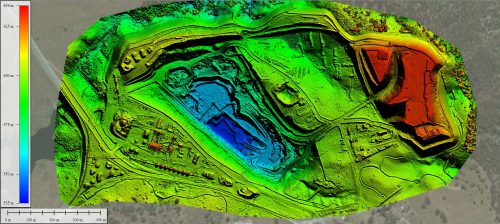
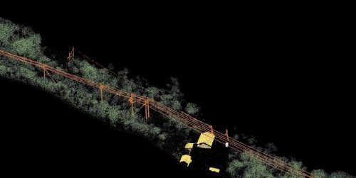
Following a UAV inspection, you may receive high-resolution imagery, thermal data, orthomosaic maps, LiDAR outputs, 3D models, and detailed inspection reports. Deliverables are tailored to your project and designed to support informed asset management decisions.
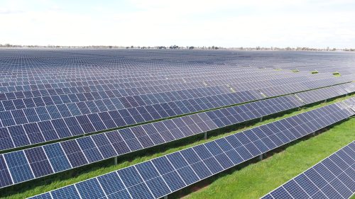
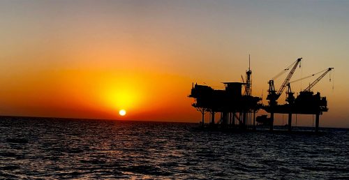
Our services support organizations across infrastructure, energy, utilities, construction, mining, renewable energy, telecommunications, transport, manufacturing, and government. Each project is planned around the operational and reporting requirements of the industry involved.
Contact our team to discuss your project objectives, asset type, and site location. We'll review your requirements, recommend the most suitable inspection approach, and prepare a tailored proposal for your project.