Whilst the vast majority of our work is associated with capturing images of LiDAR data to create 3D representations of structures or terrain, we have many other solutions we can offer. Drones are a tool that can carry a wide range of payloads to complete an array of applications.
Specialist Sensors & Services
Our team of technical specialists have decades of combined experience and enjoy the challenge of solving problems. If you would like to sense test an idea please contact us to discuss what you have in mind.
We Also Have Access to and Experience With
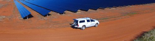
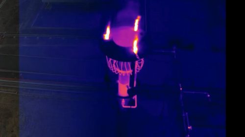
- Thermal sensors for monitoring solar farms, building efficiency, fauna populations.
- Multispectral, hyperspectral and other specialist sensors for vegetation health.
- Gas monitoring equipment.
- Ground-penetrating radar.
- Geomagnetic surveys.
- Telecommunications repeaters.
- Water quality sampling.
- Heavy-lift power line stringing.
Frequently Asked Questions
Standard aerial imagery is suitable for many inspections, but some projects require more detailed information. Depending on your objectives, a thermal drone inspection in the USA, multispectral imaging, gas sensing, or other specialist payloads can capture data that conventional cameras cannot.
The right sensor depends on your asset, operating environment, and the information you need to collect. After reviewing your project requirements, we recommend the most suitable technology, whether that's a multispectral drone survey, thermal imaging, gas monitoring, or other specialized UAV payload services.
Specialist sensors can reveal conditions that are difficult to detect through visual inspections alone, such as heat anomalies, vegetation stress, environmental changes, or gas emissions. Selecting the appropriate sensor depends on the inspection objectives and the type of asset being assessed.
Specialist drone sensors support projects across utilities, renewable energy, mining, oil and gas, agriculture, environmental management, telecommunications, construction, and other industries where detailed inspection or monitoring data is required.
Yes. Depending on the sensor used, UAV thermal imaging services can identify abnormal temperature patterns, while a gas detection drone can help locate specific gas emissions in suitable industrial and environmental applications. These technologies provide additional insights that complement standard visual inspections.
Yes. Many projects combine visual imagery, LiDAR, thermal cameras, and other specialist sensors to provide a more complete understanding of site conditions. Using multiple data sources often improves analysis and supports more informed decision-making.
Absolutely. Every project has different objectives, assets, and operational challenges. Our team works with you to recommend the most appropriate sensor technology and inspection approach, whether that involves drone methane detection, drone infrared inspection, or another specialist solution suited to your requirements.